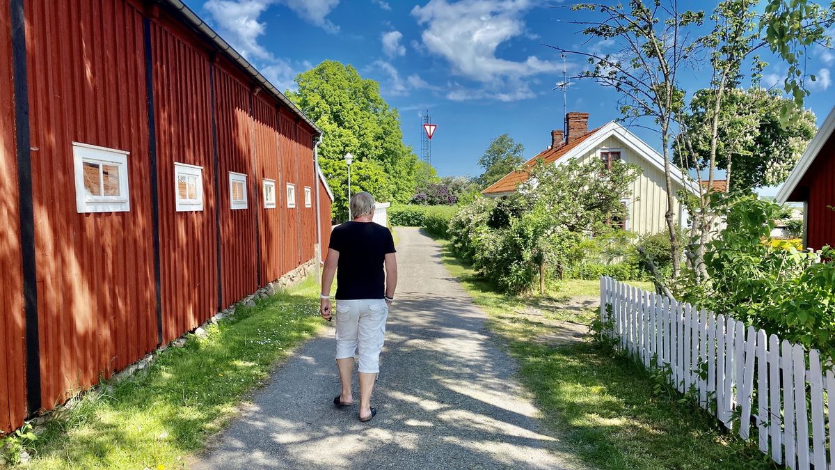
Svenska Blekingevägen is a themed road that takes you through Blekinge, to experience the beautiful Swedish coastline. Travel on your own and at your own pace - by car, motorhome, caravan or motorbike.
 Tweet
Tweet Share
Share Share
Share Pin
Pin Share
Share Share
ShareInnehållsförteckning
Swedish Blekingevägen
The Swedish Blekinge Road is a FREEDOMtravel Theme Road that runs from Sölvesborg to Kristianopel. You can follow it from any direction you like, or pick your favourite part (your favourite spots) in the middle. This is an idea to make it easier for you to go on a little adventure. Happy travelling!
Brief facts about the Swedish Blekinge Road
- Length: 185 km long
- Start: Sölvesborg
- Stop: Kristianopel
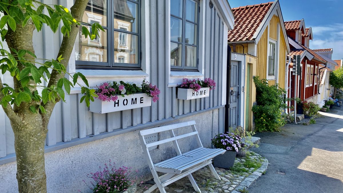
1. Sölvesborg on the Swedish road Blekingevägen
In Sölvesborg you will find sunny walks and unique shopping. Try a rib boat trip to Hanö, canoeing or mountain biking! Hike in one of 14 nature reserves and around Listerlandet there are several lovely farm shops.
2. the House of Salmon
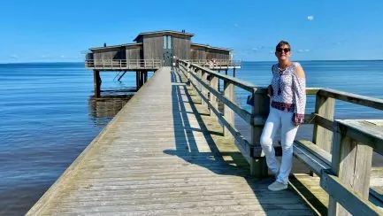
At Kungsforsen, in central Mörrum, is the centre for sport fishing in the river. Here you will find an angling office, a shop and an exhibition on the life of the salmon and the history of fishing. Try your hand at fishing or just visit the house of salmon for a day.
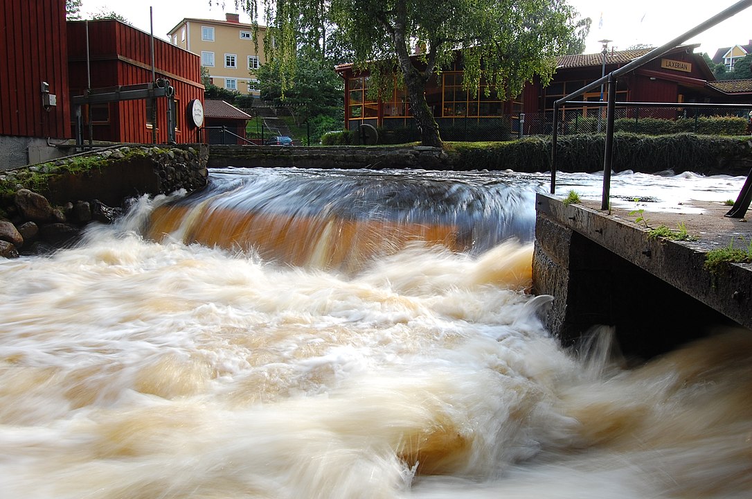
TIPS: The Salmon Trail
The hiking trail "Laxleden" along the river Mörrum. You can start in Svängsta and come down to Laxens hus or vice versa. You can also walk from Laxens hus to Elleholm, the other way round or all the way round.
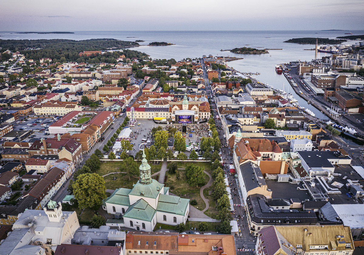
3. Karlshamn
Karlshamn is a charming coastal town with cosy cobbled streets and fine cultural quarters, beautiful nature and the archipelago close by. Discover Blekinge's beautiful nature on foot, by bike, boat or kayak. Visit skottbergska gården, the Munch Museum and Karlshamn Museum.
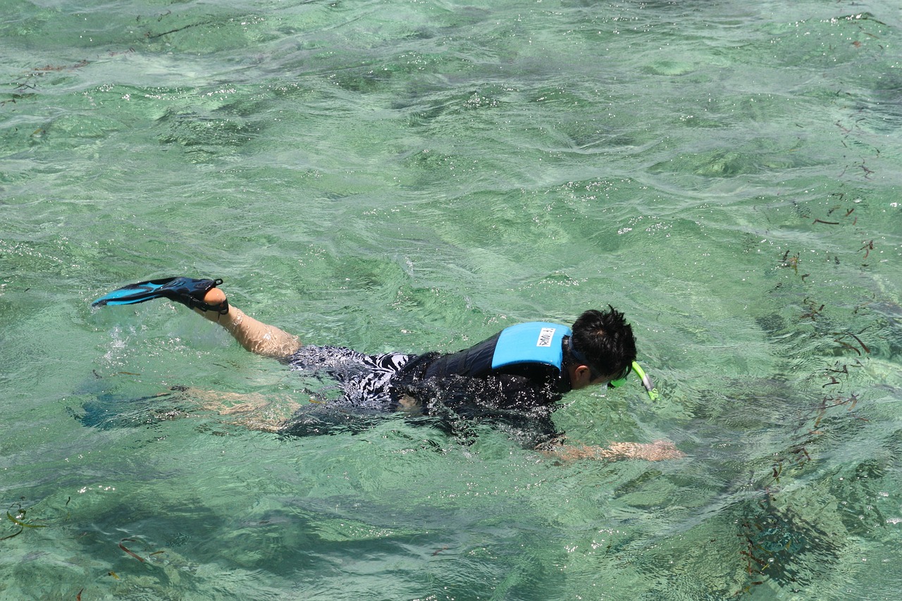
TIPS: Kollevik beach snorkelling trail
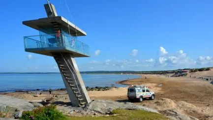
There are two snorkelling trails at Kullevik beach and campsite. One is easier that you can read from the surface and is 500 metres long where you learn all about Blekinge's underwater life. One trail is a little deeper.
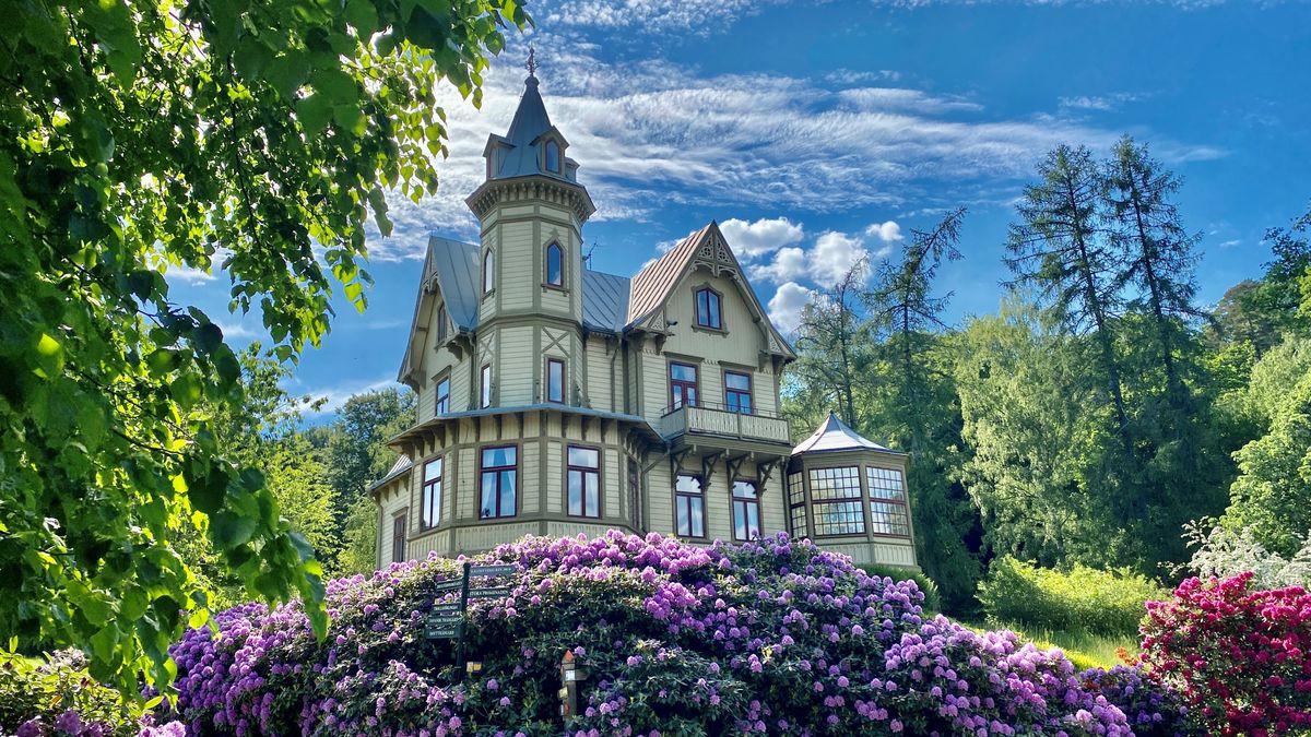
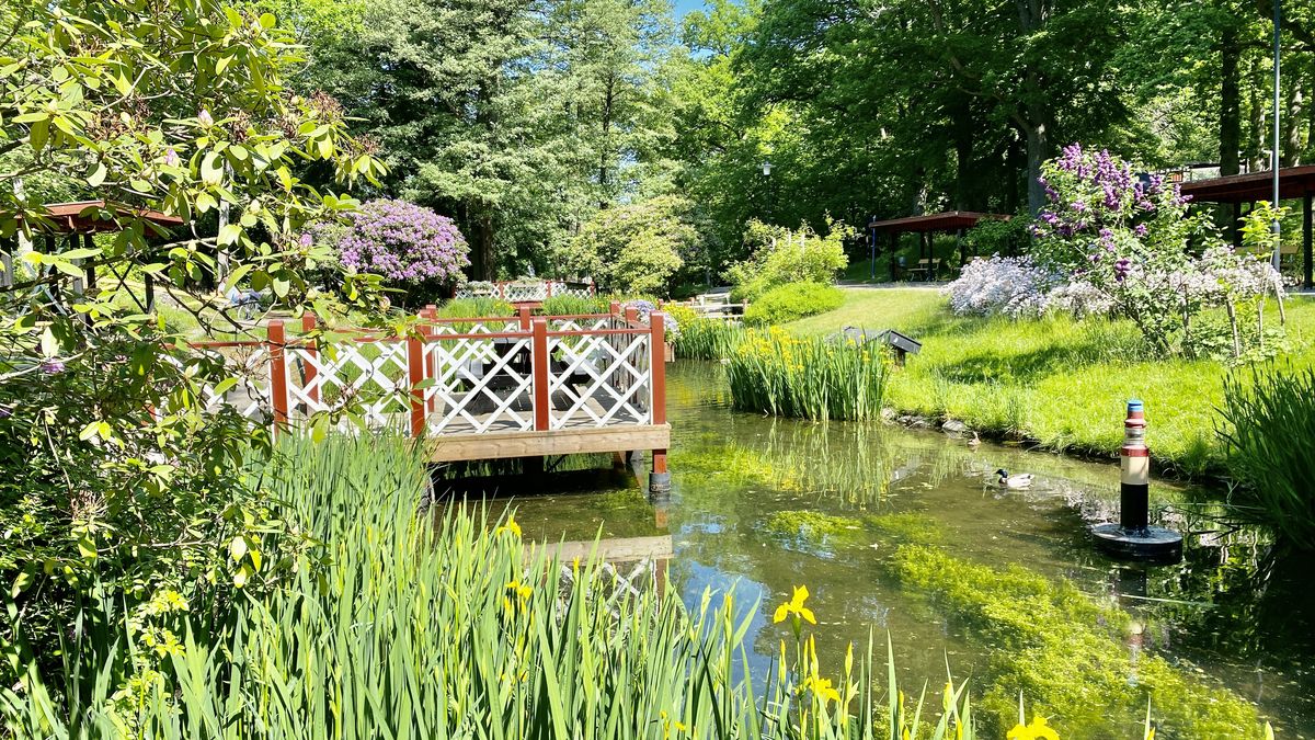
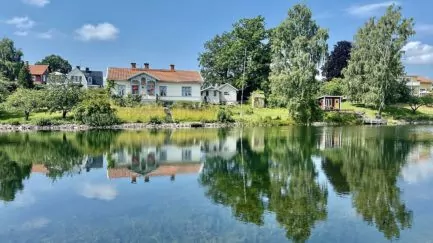
4. Ronnebybrunn
Ronneby Brunnspark offers a historical environment and a fantastically beautiful park. Once upon a time, people came here to drink the well and take health baths. Today you can enjoy the lovely park, stay in a spa hotel, swim in the pools or, perhaps, eat almond cake.
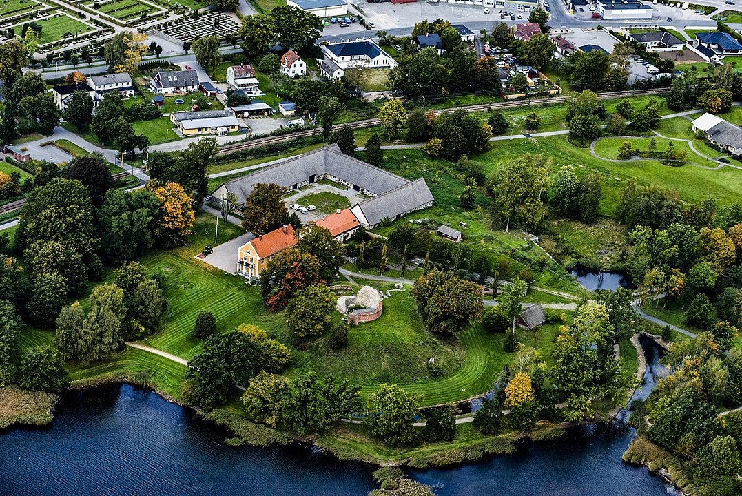
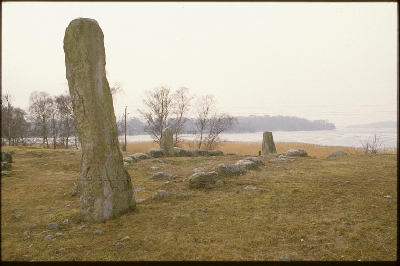
5. Hjortahammar burial ground
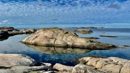
Hjortahammar is a cemetery in Förkärla parish in Ronneby municipality, near the island of Hasslö in Blekinge. The cemetery is beautifully situated in a north-south direction on a low ridge that separates water on both sides. About 120 visible ancient remains are preserved.
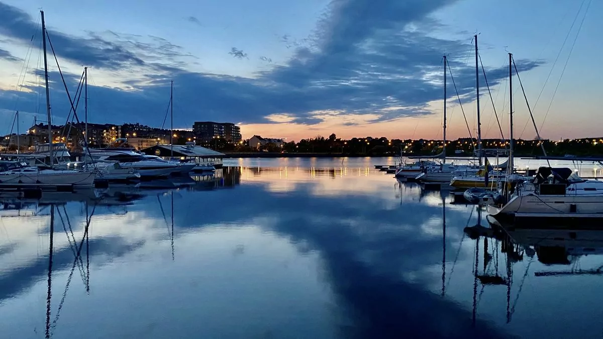
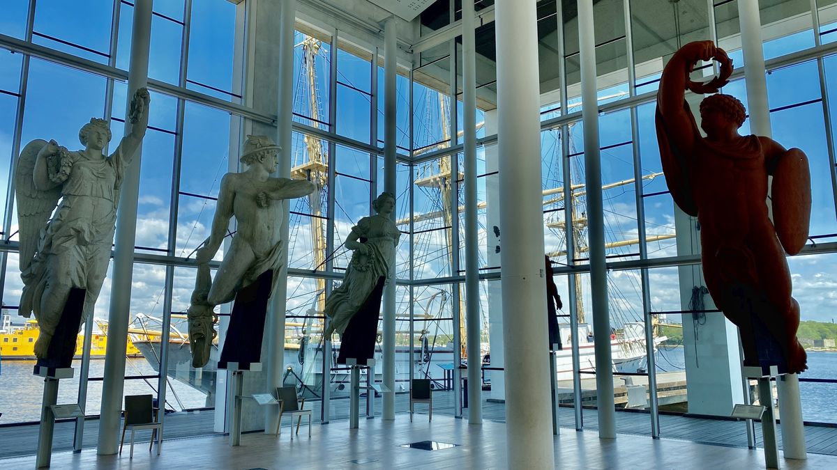
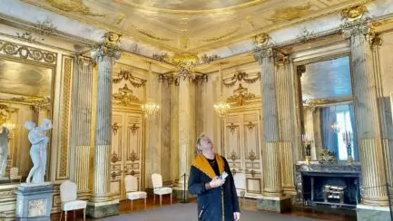
6. karlskrona
What to see and do in Karlskrona? Karlskrona is an archipelago idyll located on an island and surrounded by islands. This is really a lovely town for anyone who likes to be on the coast. The naval town of Karlskrona is also a UNESCO World Heritage Site, due to its military history.
7. Aspö on Svenska Blekingevägen
Aspö is located just outside Karlskrona and is one of all the islands in the Blekinge archipelago. You can get here by car ferry from Karlskrona and we chose to go over with our electric bikes for a day trip.
8. Dragsö
One of Karlskrona's most famous and visited tourist destinations is undoubtedly the small island of Brändaholm, which is about three kilometres from the centre of Karlskrona if you take the land route via Saltöbron and Dragsöbron. Brändaholm is a postcard idyll with 45 small red cottages that is probably Sweden's most beautiful colony area Brändaholm is located on Dragsö where Karlskrona's most popular campsite is located with a very good sea bath.
9.Wämöparken
Wämöparken in Karlskrona is an outdoor park and a popular destination. Sometimes the park is called "Blekinge's Skansen" and that is how it can be described, albeit less so.
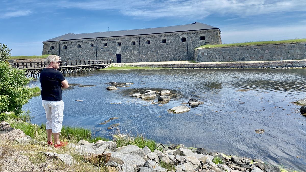
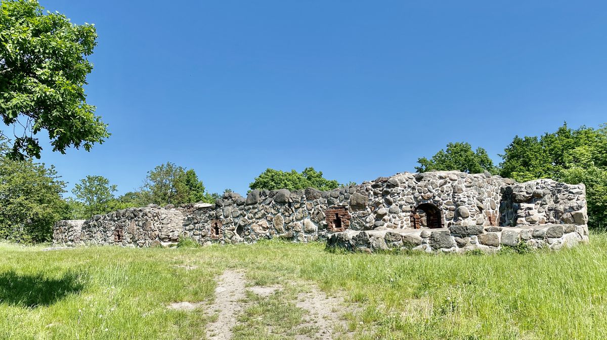
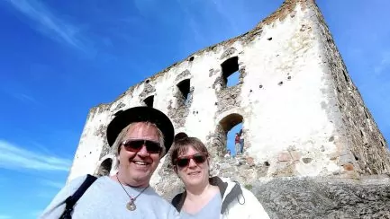
10. Lyckå castle ruin
In 1564, during the Nordic Seven Years' War, Lyckå Castle was besieged by Swedish troops. The castle was looted and set on fire, but was soon rebuilt by the Danes. In 1600, when Lyckå lost its city rights in favour of Kristianopel, the county governor moved there and the castle was destroyed.
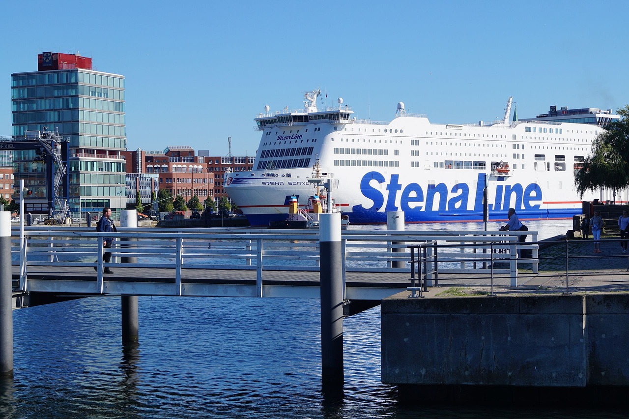
TIPS: Stena Line ferry terminal
Take the most comfortable, direct ferry route to Karlskrona in Sweden and Gdynia in Poland with the ferries Stena Ebba, Stena Estelle, Stena Spirit and Stena Vision with up to 6 daily departures. Choose between day and night departures and enjoy a fantastic travelling experience with Stena Line.
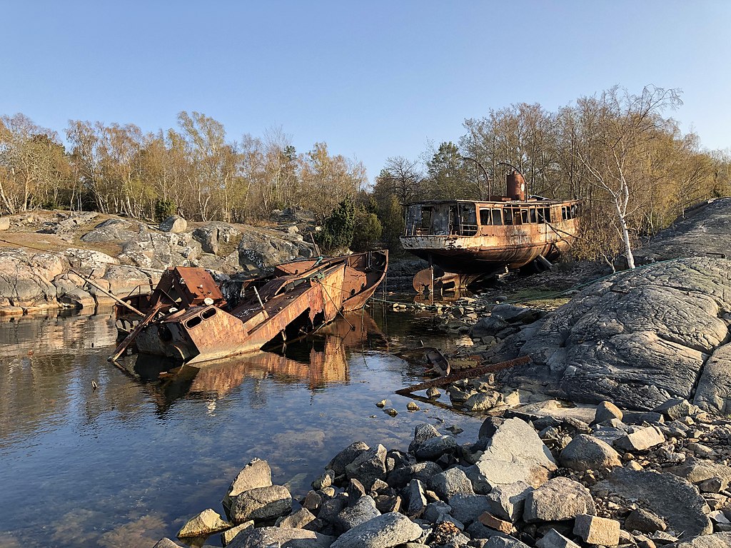
11. Tjurkö boat cemetery
Tjurkö boat cemetery is an area with the hulls of boats lying on Hägnudden on Tjurkö in the Blekinge archipelago. Mainly the area consists of the boat Trossö and the boat Carl. The area has become a tourist attraction in Karlskrona.
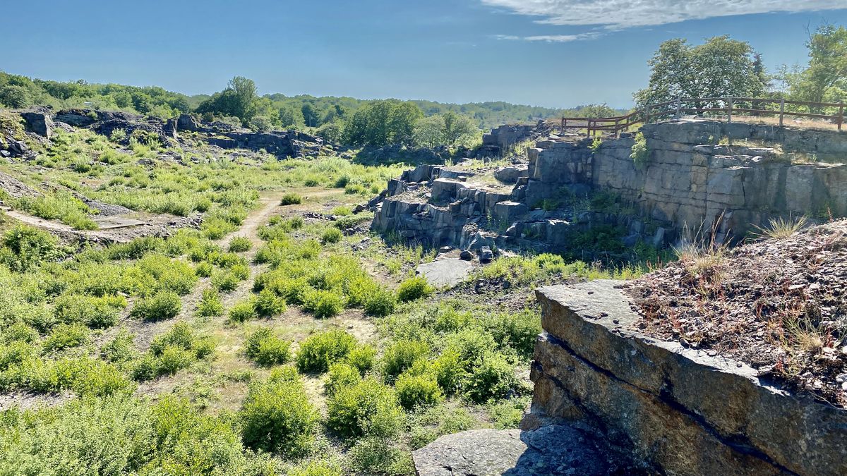
12 Tjurkö stonemasonry
On Tjurkö there is also an industrial monument in the form of a stonemasonry. During the late 19th century, Tjurkö was the centre of large-scale quarrying in Blekinge. During this time there were many small private quarries, but on Tjurkö industrial activity started early.
13th Sturkö
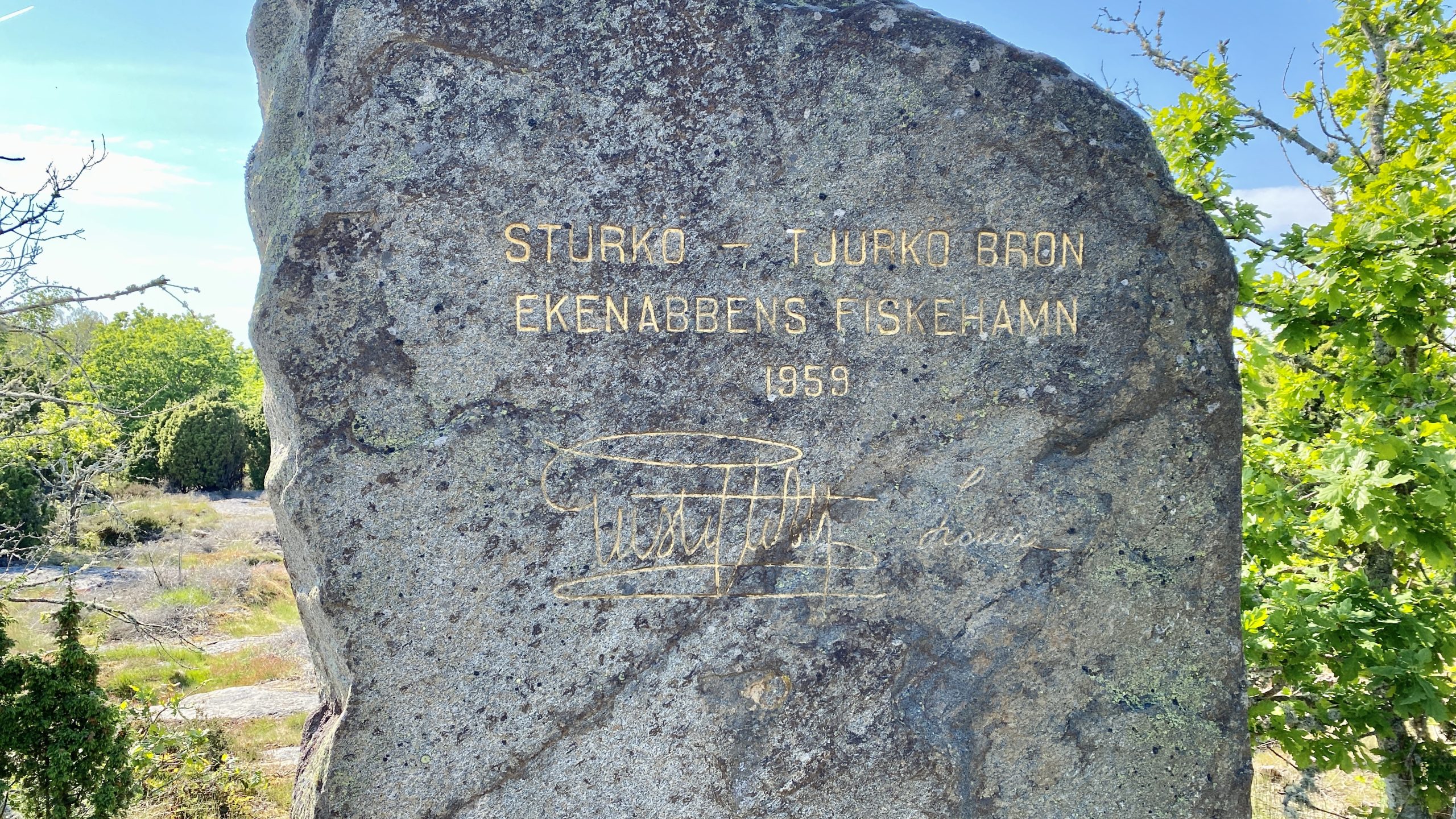
Sturkö has a land connection across the islands of Skällö, Knarrholmen and Senoren to Möcklö. Sanda is one of the island's villages with a small fishing harbour and is located on the northwestern part of the island with a view towards Karlskrona town. South of Sanda there is a bridge connection to Tjurkö and the larger fishing harbour Ekenabben. Sturkö has its own flag with a stork on it.
14. Kristianopel on Svenska Blekingevägen
Kristianopel was the first Renaissance town in the Nordic region, once fortified with walls up to nine metres high. However, it only functioned as a town for a limited period in the 17th century. Today it is a peaceful and quiet little town, with a nice campsite inside the old ring wall.
You might also like:
 Swedish Hallandsvägen - FREEDOMtravel Themed Roads
 The Swedish Bohuslän Road - FREEDOMtravel Themed Roads
 Svenska Östergötlandsvägen - FREEDOMtravel Themed roads
 Swedish Royal Palace Road - FREEDOMtravel Themed Roads
 Swedish Bath Road - FREEDOMtravel Themed Roads
 Swedish Ruin Road - FREEDOMtravel Themed Roads