

Text and photo: Helena Bergström
Both Preikestolen and Trolltunga attracted us, but after we read up on them, we realized that Trolltunga would be too tough. But Preikestolen… we wanted to try to get there! Is the hike worth the effort…? We would soon find out…
 Tweet
Tweet Share
Share Share
Share Pin
Pin Share
Share Share
ShareTable of contents
The journey towards Preikestolen
After checking out the Låtefossen and Langfoss waterfalls, it was time for us to drive towards Preikestolen. The road was incredibly beautiful, lined with water and high mountains, and we began to prepare for the hike.
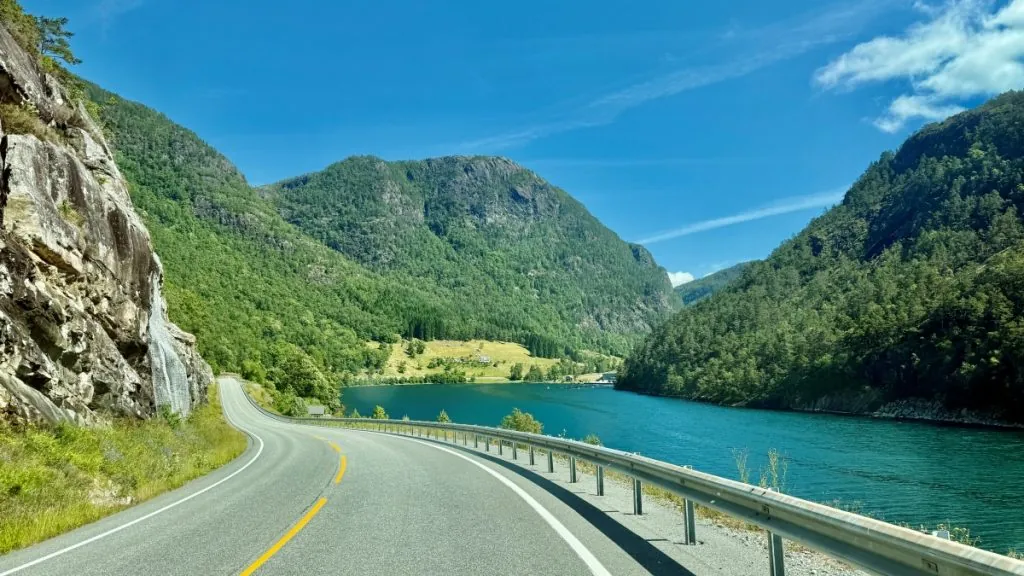
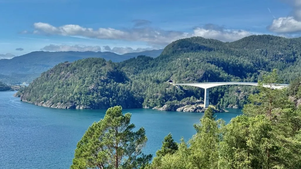
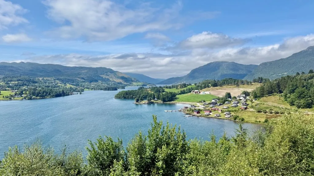
The evening before the hike, we chose to pull into the Preikestolen campsite. Here you have access to fresh water and garbage disposal, but no other services. The advantage, however, is that you are close to the Preikestolen parking lot (where you are not allowed to park overnight).
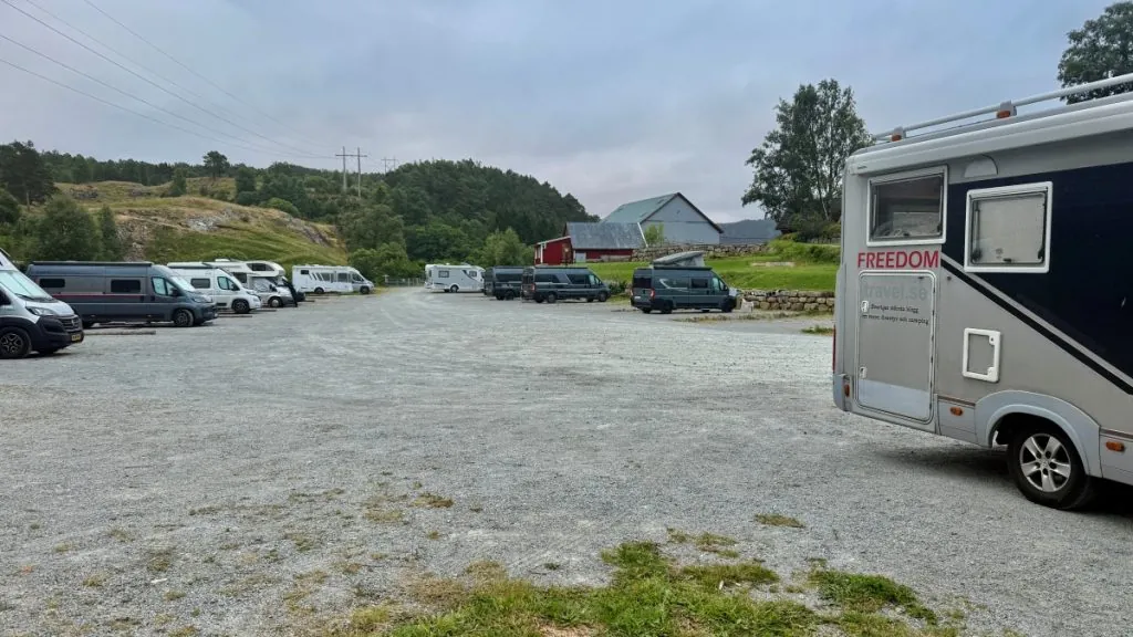
Early morning at the parking lot
We had prepared to leave early, but we were still far from the first. Already at around 4am we heard the first campers leaving. When we left, at around 6am, there were probably only half of the campers left at the campsite.
If you want a spot in parking lot 1 with a camper van during high season – yes, then you have to be this early. When we arrived just after 6:00 AM, we grabbed one of the very last camper van spots. If you arrive later? Yes, then you can park in Parking lot 2, from where there is also a path up towards the mountain, although it will be a bit longer.
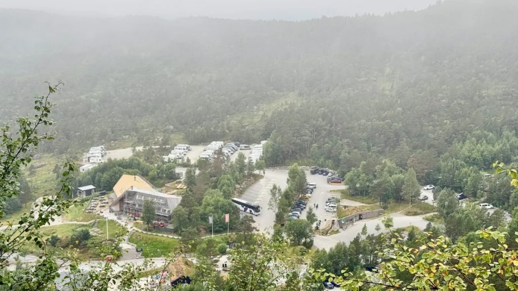
We knew that the hike could be quite challenging for us, so we prepared ourselves thoroughly with practical hiking clothes and a big lunch bag with water, coffee, cookies and a pasta salad each. Then we were as ready as we could be…!
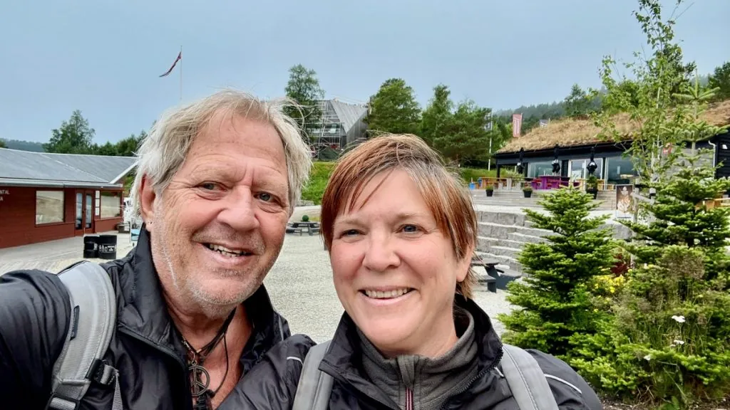
The hike up to Preikestolen
Now the hike up to Preikestolen began, and it began with a heavy uphill climb on gravel. This early in the morning, the trail was quiet, and most of the people we saw were experienced hikers in classic hiking clothes.

A path built by Sherpas
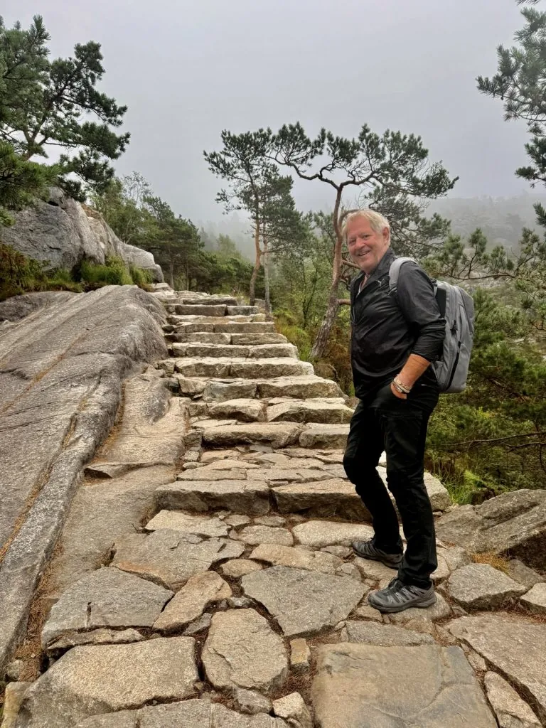
After the first gravel hill you come onto natural stone steps built by Nepalese Sherpas. These are both beautiful and quite pleasant to walk on, although of course you have to be a bit focused and watch where you put your feet.
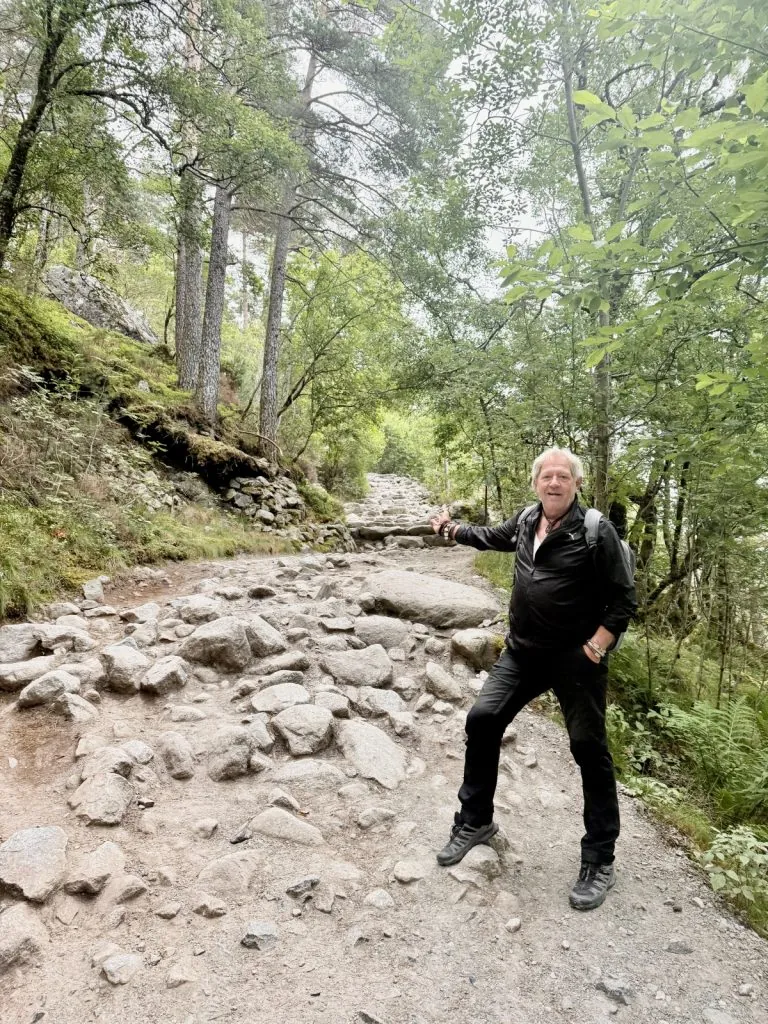
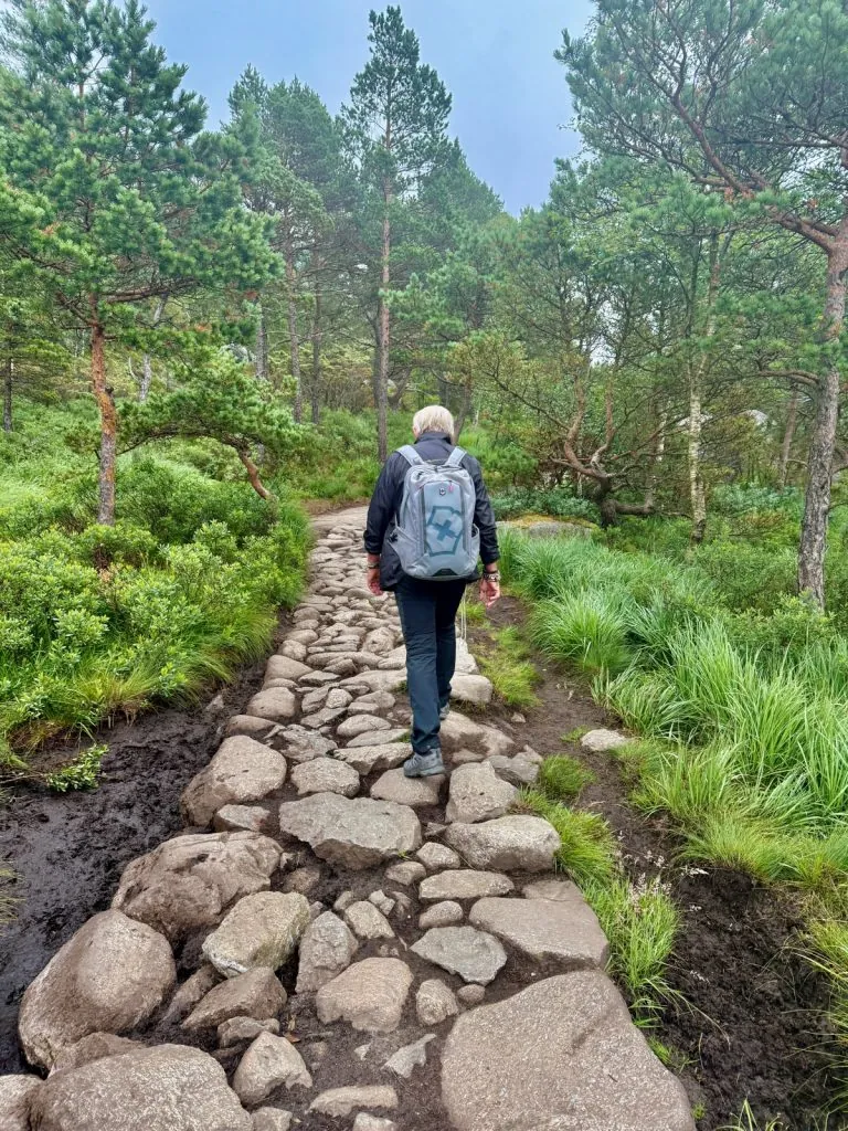
Steep climb
A large part of the hike involves walking steeply uphill, and as an experienced hiker it is of course quite strenuous. What felt good was that we had plenty of time, and that you can stop as often as you want. For our part, there were quite a few breaks – sometimes just to catch our breath, and sometimes to strengthen ourselves with coffee and cake.

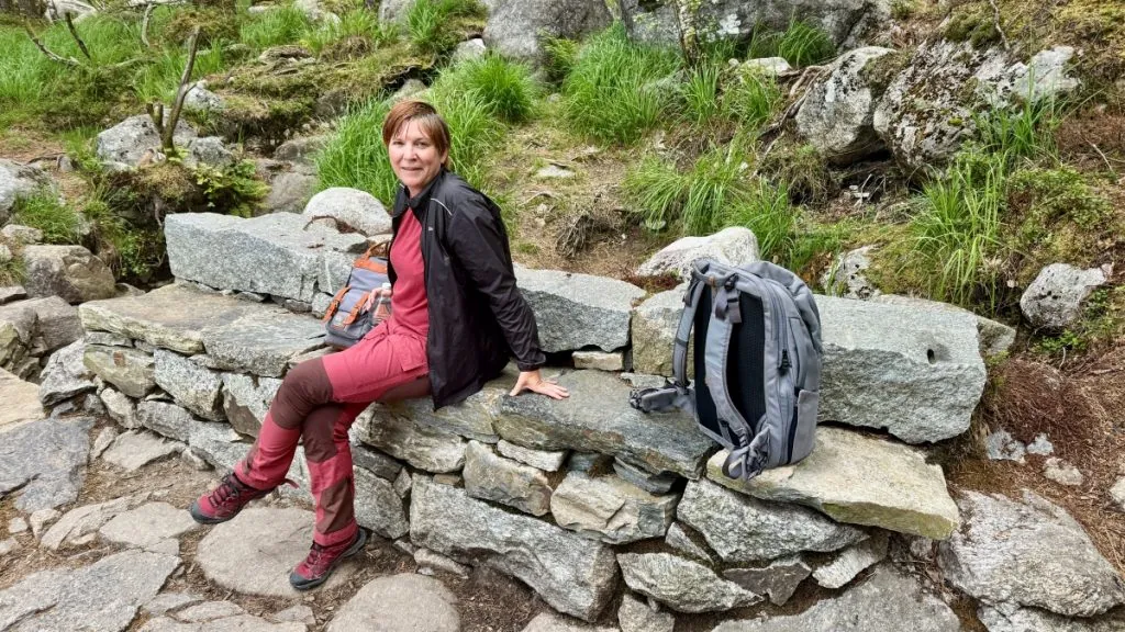
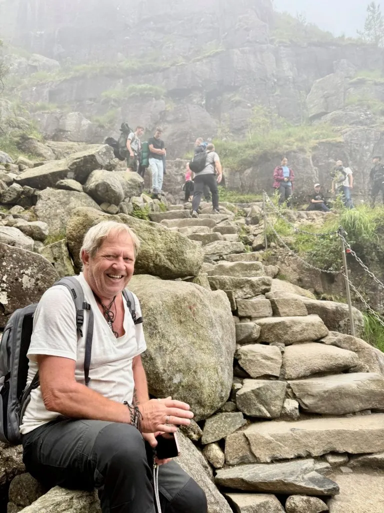
Along the way we met many other hikers, mainly from Norway, Denmark, Germany and the Netherlands, but also from countries such as Spain, France and China. Some were well-trained and passed us at a faster pace, while others struggled and had to pause at least as often as we did, or even more often.
Varied nature along the trail
One thing that surprised us was how varied the nature is along the trail. First, it doesn't go uphill all the time – sometimes the upward trend is interrupted by flat areas, or downhill slopes.
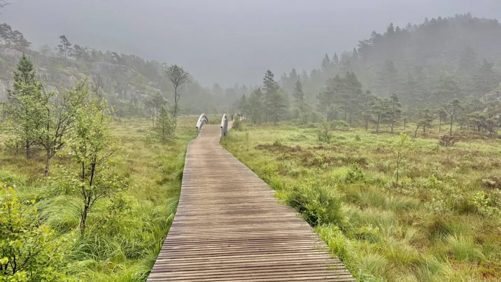
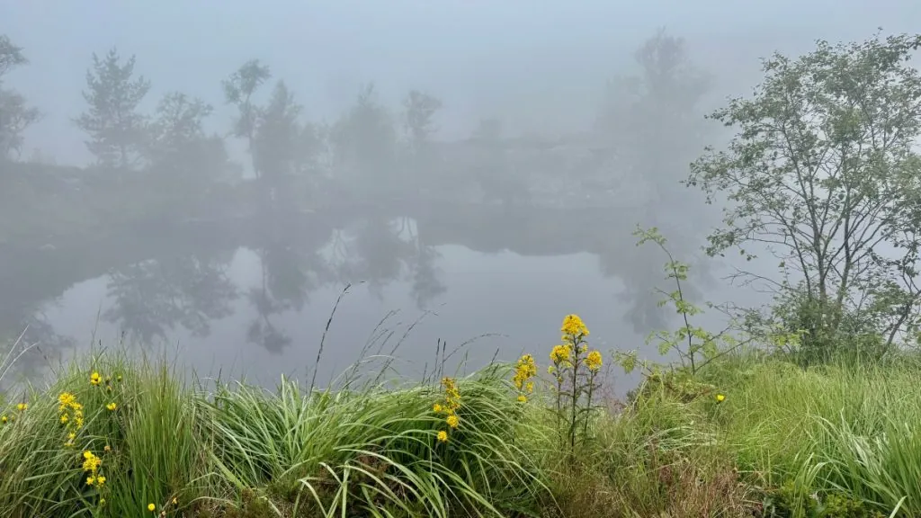
Secondly, the views are varied. Sometimes it's forest and rocks. Other times it's marshes or lakes.
When the Pulpit Rock suddenly appears
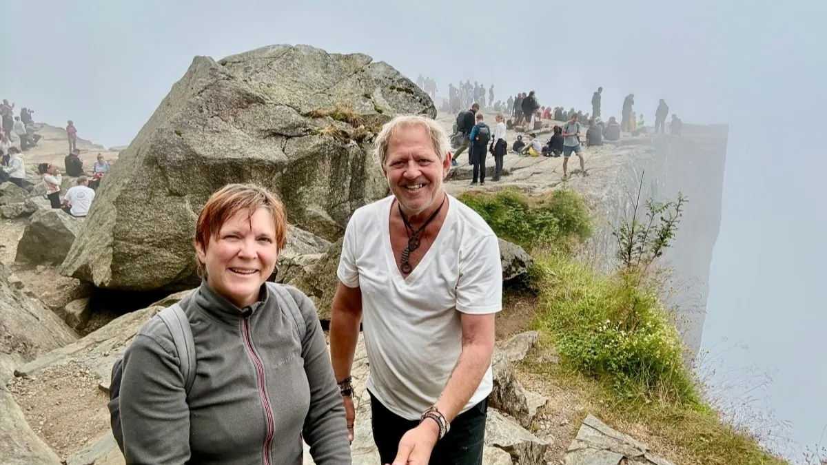
To finally, for us, after just over two hours, approach Preikestolen is of course fascinating. I, who am afraid of heights, found it dizzying long before we arrived. The path leads towards the end along steep cliffs, and in the fog it was also difficult to know how steep it was.
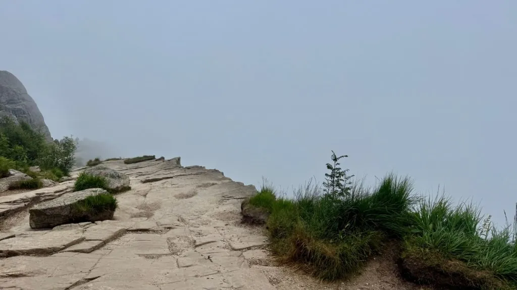
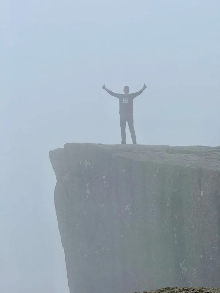
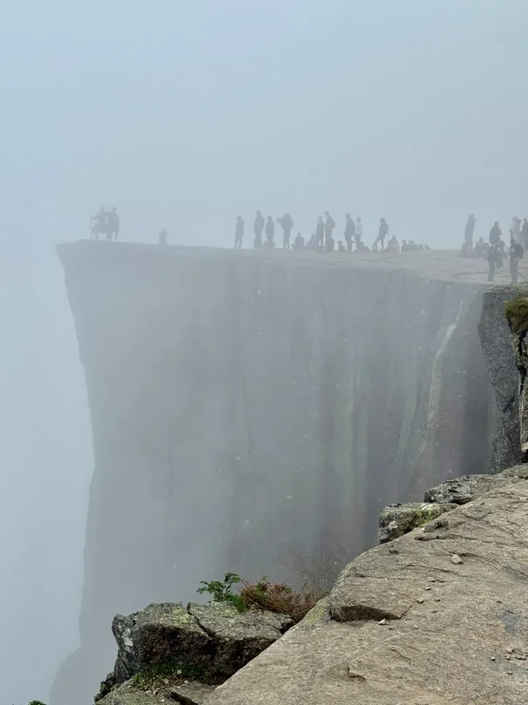
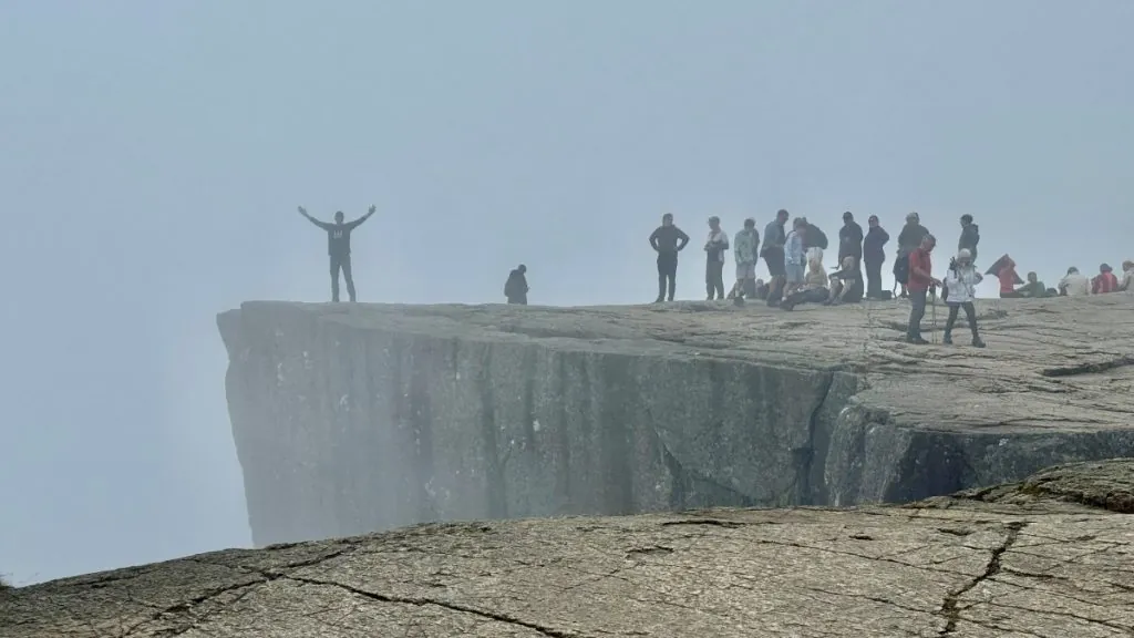
Even though we had thick fog when we arrived, Preikestolen was still clearly visible. The sheer wall is razor-sharp, and the drama couldn't be washed away by a little fog.
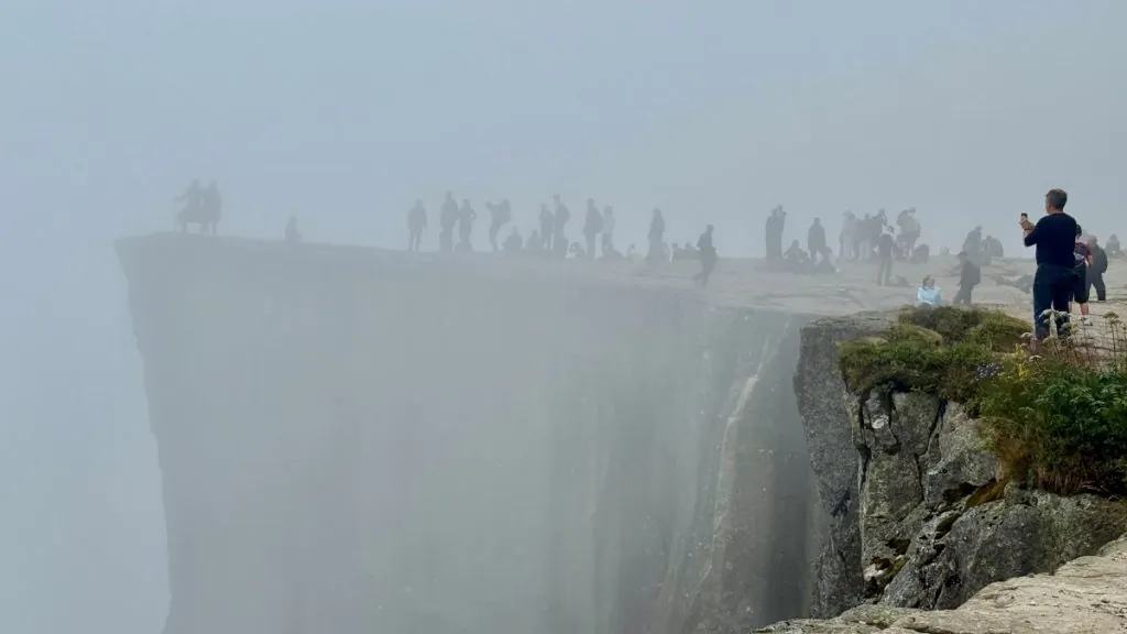
We were up on Preikestolen fairly early in the day, around 9am, but by now quite a few people had already found their way here. Some were braver than others, but we were glad that no one ventured too close to the edge.
I myself got dizzy just being up there, even though I did my best to keep my distance from the cliff. I'm afraid of heights, so for me the visit wasn't about sitting on the far edge for the perfect picture. Quite the opposite. Just walking out onto the cliff itself was a bit of a personal challenge, and I kept a safe distance from the cliff the whole time.
The view from Preikestolen
Personally, I can't speak of any magical views from Preikestolen. When we were here, the fog was thick, and we could hardly imagine what was beyond the cliff.
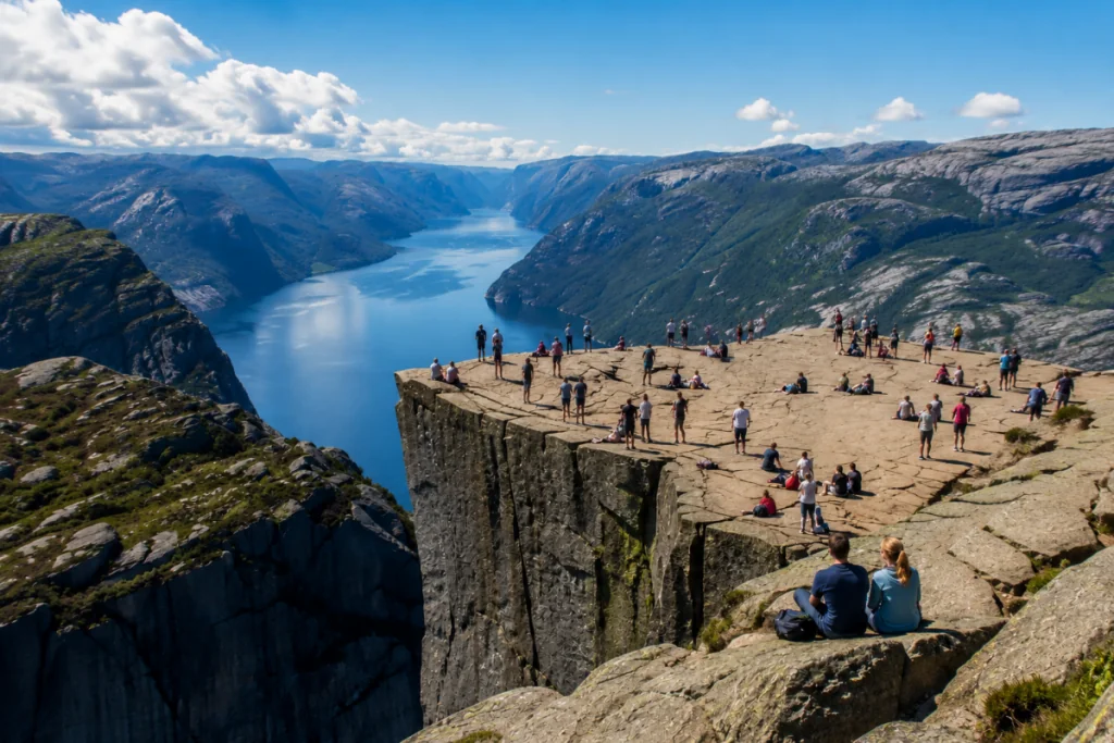
Still, it was dizzying to be up here. The shape of the cliff is spectacular, and it was especially so with all the people sitting up here, just soaking up the atmosphere.
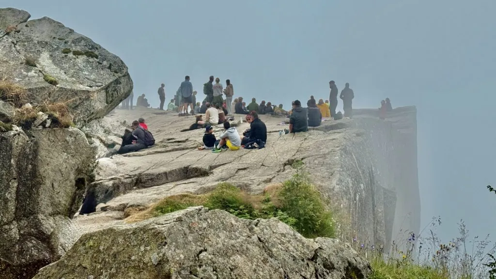
Even though it wasn't until 9:30 a.m., we ate our pasta salad here. Considering we had been awake more or less since 4:00 a.m. – and had done what was for us a tough hike – it already felt like half a day had passed.
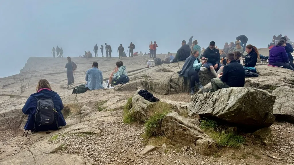
We walked around a bit, to see the cliff from different angles, but we kept our distance from the edges the whole time.
The fog was fascinating in a way, while it would have been nice to see the view of the fjord in the sun. The image below (which is an AI-generated image) describes how the cliff might appear under other circumstances.
The walk back
When you get to the top you feel a bit like ”I did it!”, but you have to go down too. For us, the hike went downhill almost as long as it took to get up.
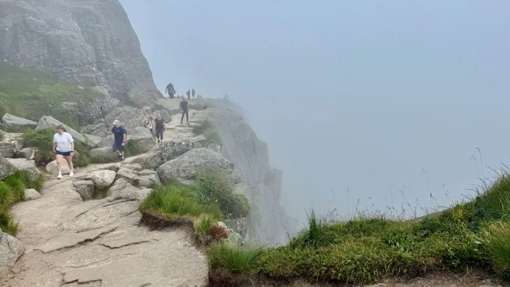
Going downhill is less physically demanding, and less tough on the lungs. On the other hand, you have to parry and take the weight on the downhill slope, and that's hard in a different way.
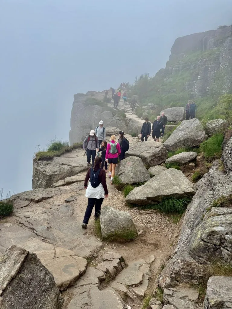
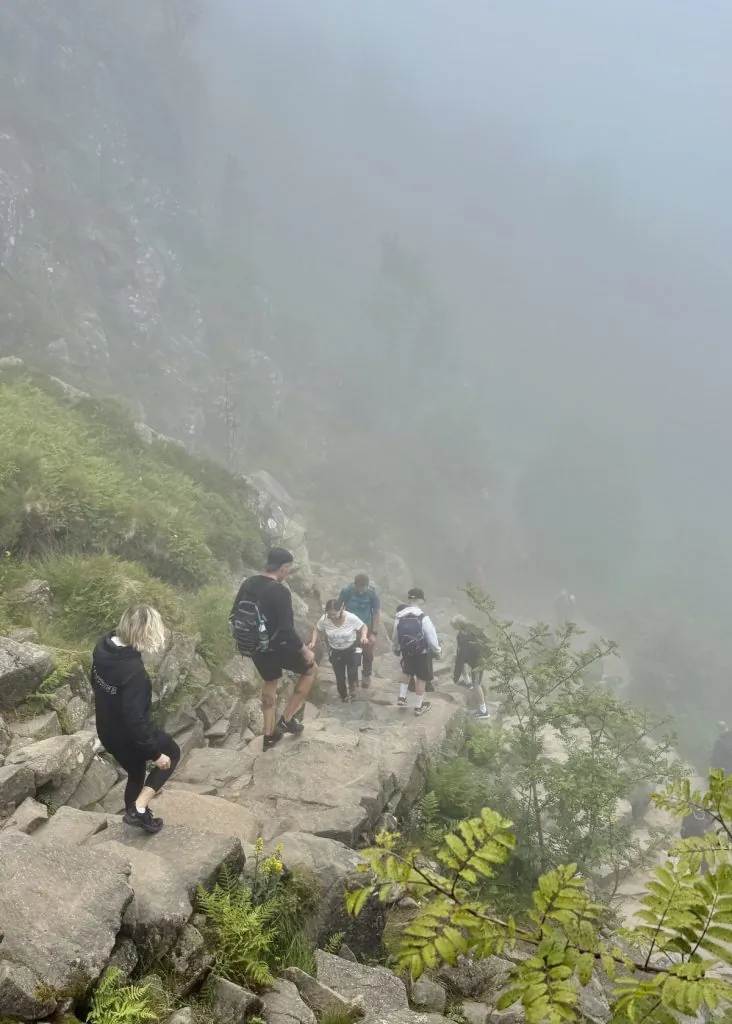
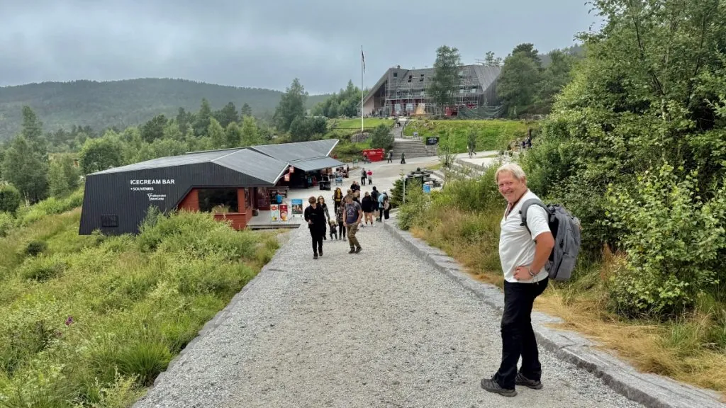
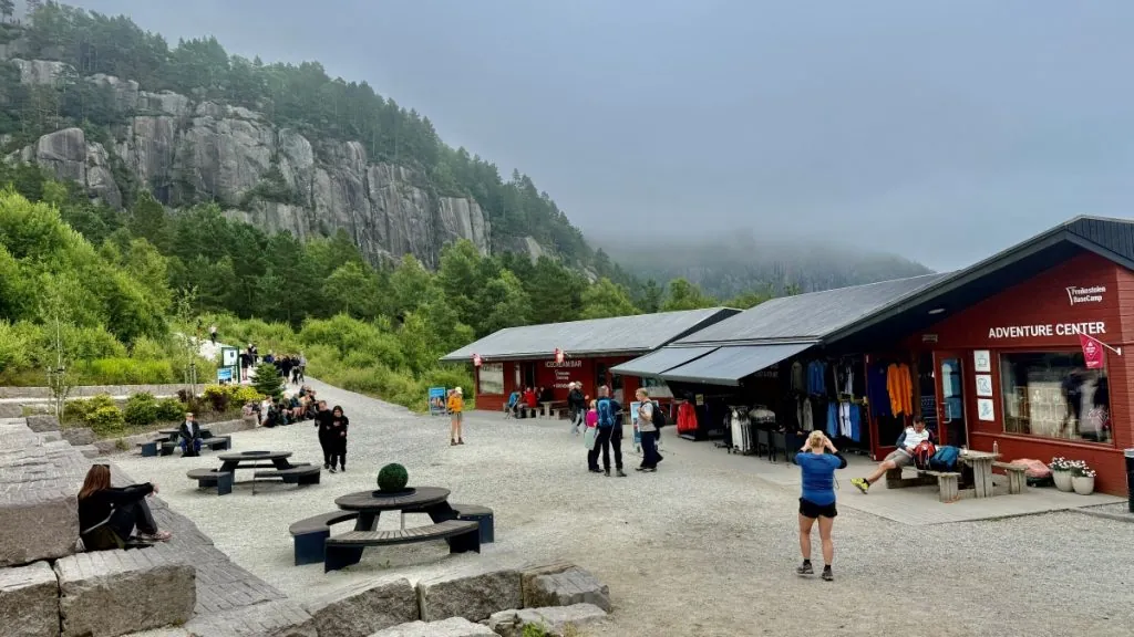
When we finally got back to Base Camp, we were pretty tired.
Practical information about hiking to Preikestolen
It is wise to prepare yourself before setting out to hike to Preikestolen. The hike is quite tough but most people who are mobile and in normal fitness can handle it. To make it an enjoyable experience, it is important to have the right clothing, supplies and enough time.
Pulpit Rock – fact box
- Height above the Lysefjord: 604 meters
- Elevation difference to hike: Approximately 330 meters (total of about 500 meters of elevation gain because the trail goes up and down several times)
- Round trip length: Approximately 8 kilometers
- Time consumption: Approximately 4-5 hours (2-2.5 hours up and 2 hours down), depending on pace and breaks.
- Level of difficulty: Moderate difficulty. The trail is well-built but contains many paved stairs, uneven ground and several steep sections.
- Season: May–October is the most common hiking season. Hiking during the winter months requires significantly more experience and the right equipment.
- Parking: Preikestolen P-plass 1 (at Preikestolen BaseCamp/Preikestolen Fjellstue) or P-pass 2. Charges apply.
- Nearest town: Jørpeland (about 15 km). Stavanger is approximately 40 km away via Ryfylketunnel
Our best tips
- Start early! The trail fills up quickly and it's nice to do the hike before it gets too crowded.
- Bring plenty of water! It is better to bring too much water than too little. There are no water stations along the way.
- Bring a snack/lunch bag! A little extra energy is perfect if you're running low on energy along the way.
- Good shoes make a difference! Hiking shoes or hiking boots are the best choice for the tour.
- Don't stress! Do you have all day? Let the hike take its time.
Our continued journey
After our hike up and down to Preikestolen we were quite tired. However, we had seen that there was a viewpoint nearby, and we wanted to check it out. So we made our way to Høllesli viewpoint, which offered fantastic views.
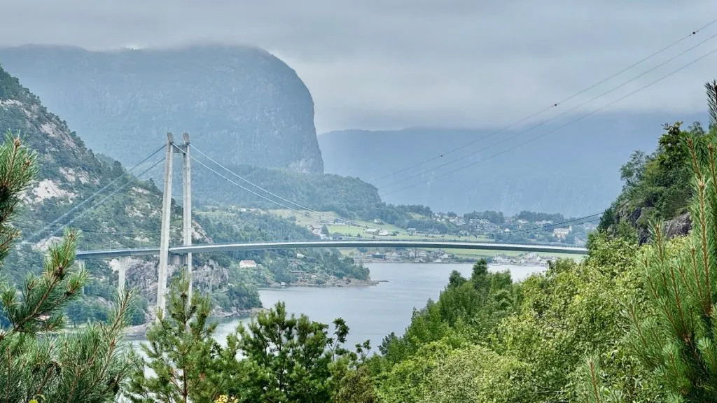
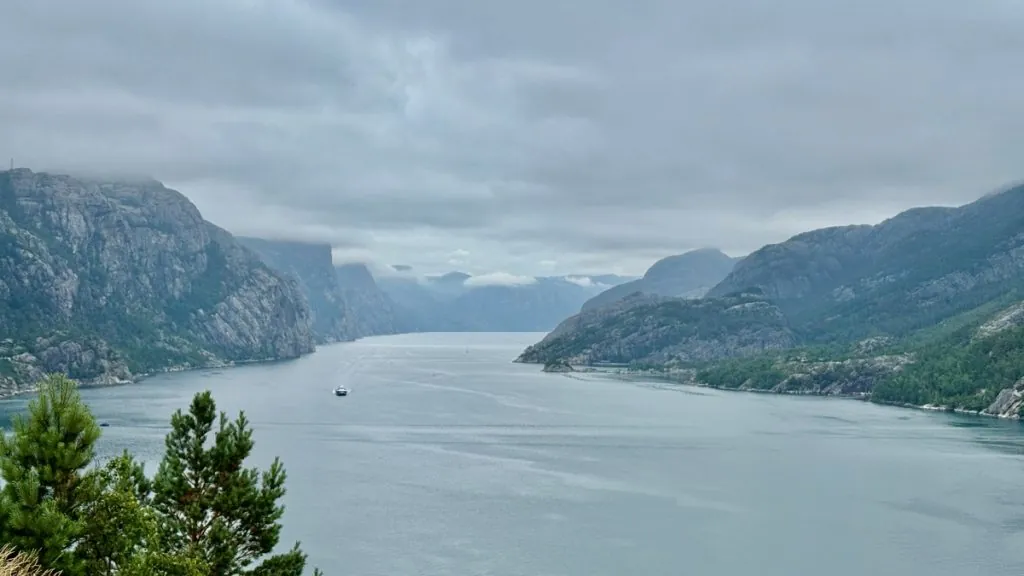
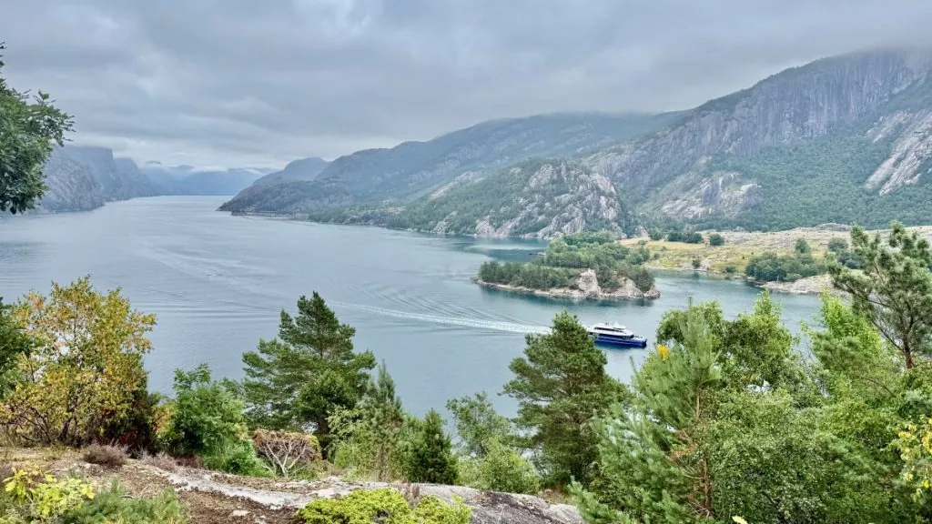
We then stayed for the night at Viewpoint Lysefjord. This was a perfect last stop, before we were to take the ferry onward the next day.
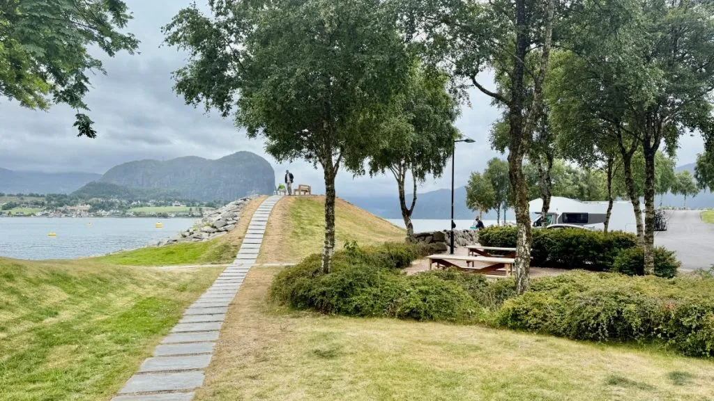
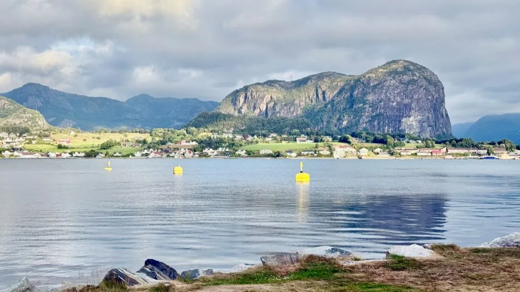
More to see and do in this part of Norway
Want to experience more of Norway after you've visited Preikestolen? Here you'll find tips and reports about areas to visit in this part of Norway:
FAQ – Frequently asked questions about Pulpit Rock
Where is Pulpit Rock located?
Preikestolen is located in Rogaland in southwestern Norway, above the Lysefjord. The hike starts at Preikestolen BaseCamp, about 40 kilometers from Stavanger.
What is Pulpit Rock famous for?
Preikestolen is one of Norway's most iconic natural attractions. The almost flat cliff rises some 604 meters above the Lysefjord and offers one of the country's most spectacular views.
How do you get to the Preikestolen?
Most people start from Stavanger and take a car or bus to the Pulpit Rock parking lot. It is also possible to combine ferry and bus if you are traveling by public transport.
How long is the hike to Preikestolen?
The hike is about 8 kilometers round trip. Most people need between 4 and 5 hours round trip, depending on pace, breaks and how much time you want to spend at the top.
How difficult is the hike to Preikestolen?
The hike is classified as medium difficulty. The path is well marked but contains many rocky sections, stairs and steep sections. A normal basic fitness level and sturdy shoes are recommended.
When is the best time to visit Preikestolen?
The most popular period is from May to October. To avoid the biggest crowds, it is best to start early in the morning or later in the afternoon, especially during the summer.
Do you have to pay to hike to Preikestolen?
No, the hike itself is free. However, there is a charge to park your car at the starting point, and the fee varies depending on the season and vehicle.
Is the hike to Preikestolen child-friendly?
Yes, many children can do the hike, especially if they are used to walking in nature. Keep in mind that the trail is rocky and there are no railings up on the cliff, so children need to be supervised.
Are there railings on Preikestolen?
No, there are no guardrails on the cliff ledge. Visitors are responsible for keeping a safe distance from the edge and taking extra care in wet or windy weather.
What should you bring with you on the hike?
Bring water, a packed lunch or snacks, clothing for the weather, and comfortable hiking shoes with good grip. The weather can change quickly, so a windbreaker or rain jacket is often a good idea.
Can you combine Preikestolen with other attractions?
Yes, many people combine the hike with a boat trip on the Lysefjord, a visit to Stavanger or a trip along the spectacular Lysevegen. Kjerag, with the famous Kjeragbolten, is also a popular destination in the same region for those who want to experience more dramatic mountain landscapes.
You might also like:
 Vinnufossen in Norway – Europe's highest waterfall
 Trollstigen – one of Norway's most dramatic roads
 Geirangerfjord – dramatic views from Geiranger to Hellesylt
 Old Strynefjellsvegen – Norway's historic mountain road
 The Sognefjord – our journey along Norway's most powerful fjord
 Hardangerfjord with motorhome – Eidfjord, Vøringsfossen and Hardangervidda



 English (UK)
  Svenska
Johanna i Skåne says:
Nice hike you had! We are also in Norway and experiencing fantastic places, mainly underwater. Trondheimsfjorden and Skarnsundet have a lot of wildlife and species we have not seen before, Periphylla manatees for example – google these cool creatures! We have understood from the locals that it has rained for much of the summer, but in recent days the sun has come out and it is so wonderfully green everywhere. Wishing you a continued adventurous trip!
August 02, 2026 - 8:56
Helena says:
So great that you are also in Norway!! And wow, yes we have googled these jellyfish … so cool!! 🙂 Wishing you a continued nice trip!!
August 02, 2026 - 19:09
gillasvardag says:
Wow…what a hike and tough guys who dare to go all the way out there so high up and without a safety net…I would probably get dizzy there…but oh what a beautiful view it would be…too bad it was so foggy when you got there.
August 02, 2026 - 11:00
Helena says:
Yes, I got dizzy at the top... but the rest of the hike is calm from that aspect, so it was just up there at the top... 😉 (And you can stay far from the edge if you want ;))
August 02, 2026 - 19:10
KulTur i Natur says:
What fantastic pictures you took. In my opinion, the fog made it all even more exciting and beautiful. You've seen pictures of Preikestolen, but rarely the way up and down.
August 02, 2026 - 11:37
Helena says:
Yes, fog can be delicious in its own way too. It's nice that we could show a bit from the road up and down too 🙂
August 02, 2026 - 19:11
bmlarsreseblogg says:
So cool and good job getting up there. I wonder if my one knee would like this, but it would probably be worth a try if we get there!
August 02, 2026 - 11:47
Helena says:
Yes, it can be tiring, there is a risk... But if you think it works, it's a rewarding hike! 🙂
August 02, 2026 - 19:12
Ditte says:
Yes, if you are in this part of Norway and have a decent basic fitness level, it is almost a ”must” to go up to the Pulpit. Great that you did it. Have done this hike a few times as a teenager and young adult. Great memories. And great fun that you did this hike. Great pictures.
I understand that you may not be able to take a trip on the fantastic Flåm Railway this time, a trip between the fjord village of Flåm and the mountain station Myrdal. And you can park your car either in Flåm or Myrdal and walk back. You can take a boat trip from Flåm on the Aurlandsfjord or Näröjfjørden. Absolutely fantastic. And if not now, maybe later.
Keep up the good work.
August 02, 2026 - 18:55
Helena says:
Great that you were up here! We read about Flåm and were almost on our way there, but the mountain road was very steep and our old camper was a bit strained, so we ended up choosing a different route... I understand that it's nice there and also the Flåm Railway!
August 02, 2026 - 19:14
Anonymous says:
It's great that you've been to my area, but it's a shame you had fog on Preikestolen. I think you may have already driven there, but otherwise, route 450 is a very nice trip over the mountains towards Sweden. Personally, I think it's at least as nice as the Flåm Railway. I hope you also take a trip within Stavanger, which has a lot of great things to see and experience. Good luck moving forward.
August 02, 2026 - 19:44
Marika says:
So beautiful! And just like someone else said, I think the fog made it even better. Magical! You guys are cool for walking on such terrain and you Helena for doing it anyway despite your fear of heights. 👏
August 3, 2026 - 9:27
Anna i Portugal says:
So cool, I would like to do that hike too. I'm also afraid of heights, so I understand exactly how you avoided the edges. Good thing you still made the hike there, I think. Too bad about the fog, but it also makes the pictures unique.
August 3, 2026 - 14:22